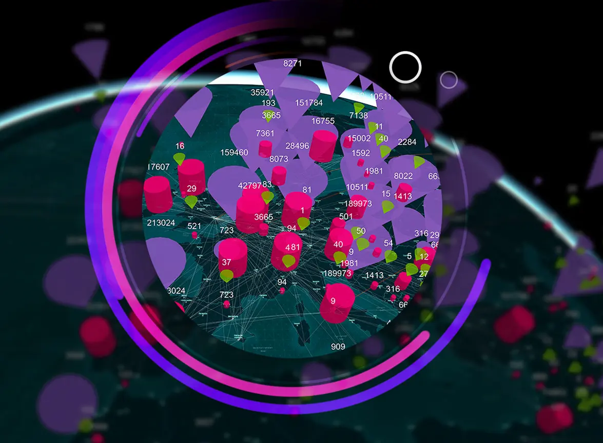

Advancing the power of geography
Esri is the global market leader in geographic information system (GIS) software, location intelligence, and mapping. Since 1969, we have supported customers with geographic science and geospatial analytics, what we call The Science of Where. We take a geographic approach to problem-solving, brought to life by modern, enterprise-grade GIS technology. We are committed to using science and technology to build a sustainable world.
Embracing a geographic approach
To solve our most complex problems, we must first understand them in the crucial context of location. Hidden patterns, trends, and relationships emerge when you visualize and analyze data on a map. This location intelligence provides unique insights that empower real-time understanding and transform decision-making. Beyond sophisticated maps and advanced geospatial analytics, Esri technology enables faster data sharing and more fluid collaboration.
Business and government leaders around the world apply Esri’s technology to understand and address important challenges such as climate change, supply chain resilience, public health, and social equity. Our customers’ work is the inspiration for everything we do. Esri special programs are designed to help our users apply geographic information system (GIS) technology for good around the world.
Fill the below form for the offer
Esri Technology Benefits
ArcGIS is powerful geographic information system (GIS) technology that provides tools to capture, view, edit, manage, analyze, and share data in the context of location. It includes access to thousands of curated datasets and maps that can be explored and leveraged for analysis and insight. ArcGIS can be used in the cloud, on mobile devices, and on desktops to create maps, apps, dashboards, 3D scenes and models, and data science notebooks.

Businesses
Leading companies use Esri technology for operational intelligence, market and competitive analysis, risk assessment, real-time situational awareness, and business continuity.

National government agencies
Officials in health and human services, infrastructure, public safety, transportation, agriculture, earth sciences, and other disciplines use Esri technology to support high-level decision-making.

Cities and local governments
Community leaders apply Esri technology to drive economic development; manage public works; and advance sustainable, equitable urban planning.
Esri Products
Esri builds the leading mapping and spatial analytics software designed to support the mission and business objectives of organizations around the globe, regardless of size. Esri’s ArcGIS products run in the cloud, on mobile devices, and on desktops. Explore Esri’s product offerings that match your business needs.
ArcGIS Online
ArcGIS Online is a secure mapping and spatial analysis software as a service (SaaS) platform that empowers your organization to unlock geospatial insights. Built on scalable and resilient technology, your organization can collect and manage data, analyze it, and improve decision-making by easily sharing maps and apps. Seamlessly collaborate with the help of a configurable sharing model and a variety of integrated apps and capabilities.


ArcGIS Pro
ArcGIS Pro is the premier desktop geographic information system (GIS) application. Crafted with user-driven innovations, it offers unparalleled tools and capabilities that support your work. Users can maintain spatial data effectively; generate stunning 2D, 3D, and 4D visualizations; and conduct advanced mapping analytics. The seamless data sharing within the ArcGIS system fosters valuable GIS solutions and insights.
ArcGIS Enterprise
Build your foundation with the system that has it all—ArcGIS Enterprise. ArcGIS Enterprise is the complete software system for all your geospatial needs—make maps, analyze geospatial data, and share results to solve problems. Our market-leading GIS mapping software will support your work behind your firewall or in the cloud and deliver results.

Esri Industries
Esri mapping and analytics software inspires positive change across industries


